Hi all
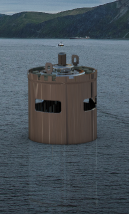
Working in the naval environment. I need to represent my 3D with a ground plan that represents the sea level on the hull
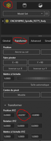
At the time I used photoview 360 to make my renders and I could modify this option in the 3D and then render my own. I can't find this option on Visualize. Can you help me? Should I import it from solidworks? I have put you the background that I would like to use.
Thank you for your answers.
001.png
dsc_0309.jpg

