Hello
A quick question for the community:
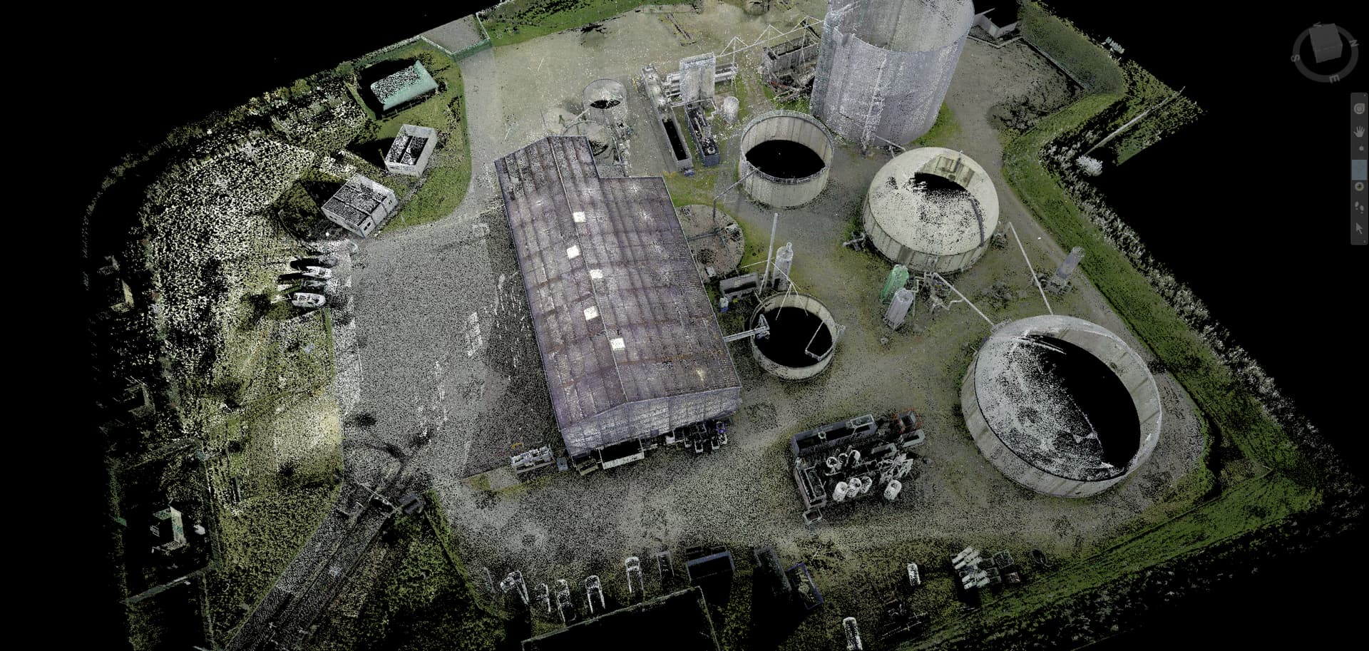
We have a 3D scan with a point cloud (probably millions ![]() ) in .rcp format and we want to be able to use it to reconstruct surfaces and/or volumes.
) in .rcp format and we want to be able to use it to reconstruct surfaces and/or volumes.
We use Solidworks, AutoCad LT and Navisworks software on a daily basis in our company.
Navisworks allows us to open the .rcp scan, view it and even be able to take measurements, but that's it. (image above)
Soliworks allows us to create the 3D of our plants with the volume part (concrete, GC, tanks, buildings etc...) and the piping part for the piping.
With autocad LT we manage supplier data and 2D plans as well.
it is impossible for us to import this file into Solidworks (unless you have a solution but not sure that it can handle so many build points when you see how it mills with large sketches imported from autocad...)
Do you have a suggestion on a software to use that would allow us to exploit this scan? That is to say, put this point cloud in the background and rebuild the factory by clinging to the different points of the scan.
You also don't want to accumulate several software programs because of the costs involved.
We are open to ideas and remain available to exchange.
Have a nice day.
Nicholas